Saturday, April 13, 2019

April 13th Meeting - 24 GHz Outing

Saturday, April 13, bright and early.  Zack W9SZ loaded his Ford in Champaign and headed southwest towards Dennys in Litchfield.  Likewise, Herbert AF4JF loaded up his Traverse and left St. Peters, MO for Litchfield.  Ron KO0Z soon joined them at the Litchfield Dennys for coffee, breakfast and good company at 7:15 am.

Our next stop was Ohlman cemetery, EM59ji to test Herbert's 24 GHz station.  Since crops are not up, almost any direction was a good one to test 24 GHz.  We arrived at the cemetery sometime around 9:30am.  After testing the rigs in the cemetery, Zack drove a mile away and both he and Herbert were able to easily copy each other.

Zack and Herbert then made a 2 mile 24 GHz contact.  Zack moved again for a distance of over 5 miles and both he and Herbert were able to make the two-way CW QSO!  What makes this especially sweet is Herbert AF4JF was running 300 MICROWATTS to a splash feed antenna and his dish!

A good day indeed!

We celebrated by going to the Rosebud Café, just east of Pana on IL Hwy 16 and Hwy 51.  After a good lunch, Zack left for Champaign, Herbert to St. Peters and I to Girard, but not before revisiting Ohlman Cemetery to chat with Zack on 146.52 FM simplex.  At the time he was about 15 miles south of Decatur.  Both of us were using mag mount antennas.  I set up my 10 GHz rig and I was able to copy the WB9PNU/b just above the noise sometime around 3 pm.


KO0Z's 10 GHz rig at Ohlman Cemetery, EM59ji, aimed in the direction of the WB9PNU/b in St. Louis over 78 miles away.  I could hear the beacon above the noise floor.


Zack W9SZ unloading his 24 GHz rig at Ohlman Cemetery to work Herbert AF4JF about 150 feet away to see if both rigs were working.  Zack was testing a different IF rig, a Yaesu FT-817.

                                       W9SZ ready to copy some  24 GHz  signals!


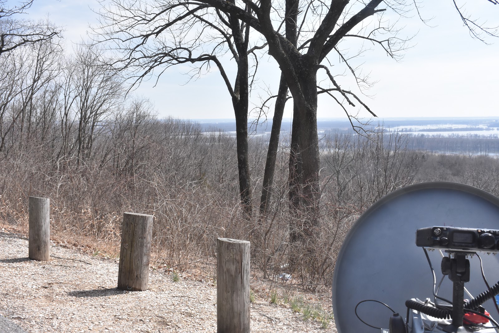
                                                       Ron KO0Z's 10 GHz setup.


                           Herbert AF4JF about 150 feet away on the northside of the cemetery, EM59ji

                           
                           Herbert AF4JF's 24 GHz rig aimed north from Ohlman Cemetery EM59ji


                    Herbert's travel companion, Darcey, found a friend, but he wasn't all that animated!


   Zack W9SZ raising dust ahead of me on our way back to Ohlman cemetery. We are heading south.  The cemetery is the hill off to the right of the road.  This picture was taken about a mile or two north of the cemetery.


    Herbert's big grin after working Zack W9SZ, 5 miles away on 24 GHz with 300 microwatts of power at his end.!


   Zack is packing up his rig, 5 miles north of Ohlman cemetery.  This shot is looking south back towards the cemetery which isn't even visible in this picture.


Here is a map with elevation profile of the 5 mile path accomplished today on 24 GHz!  Ohlman Cemetery is located on the right hand side of the elevation display and Zack's spot is on the left.


Herbert AF4JF is sending to Zack and Zack is sending back to Herbert  on 24 GHz CW


        Zack W9SZ is receiving Herbert AF4JF's 24 GHz, 300 microwatt signal over 5 miles away!

Saturday, March 30, 2019

W9SZ Almost QRV On 78 GHz

Kudos to Zack W9SZ.  Zack is getting closer to being QRV on 78 GHz.  He is using a dish with a flat-plate splash feed. Zack mentions, "I pretty much copied a design by DL2AM.  My 78 GHz station isn't done but it's getting closer. I think I need about +20 dBm of drive at 12816 MHz to drive the tripler for the harmonic mixer. I got some FET's from Jeff WA3ZKR that are rated at +20 dBm output through 18 GHz. Working on a circuit for that. I have an s-parameter file, which took me a LOT of runarounds to finally get. The company that originally made the FET's has changed hands several times."


Wednesday, March 27, 2019

Pere Marquette State Park, IL EM48rx

Debbie had an appointment in St. Louis today.  After the appointment and enjoying lunch at Mt. Everest Café we went to Pere Marquette State Park near Grafton, IL (EM48rx) on our way back to Girard to scope out the scenic overlooks for potential microwave sites.  We found two great locations.  They are along Scenic Drive inside the park. There are about 5 overlooks, but two of them are looking into trees and when the foliage is out, uW work will be hindered.  However there is one  that allow you to set up next to the car (Good Spot) and another (Eagle Roost) requires a short walk over a flat, paved surface.  The third, called Flagpole requires going up some stairs, but the horizon is unobstructed.  I found Eagles Roost to be the best.  The other spot is not named by the Park, but I named it "Good Spot."

Here's the information of the scenic overlooks at Pere Marquette State Park:

Eagle Roost:  145 to 265 degrees unobstructed.  Elevation 818 feet on my GPS.  Brussels, IL is line of sight at 3.5 miles distance. N 38 58 687 W 90 32 013  A little walking from  the parking lot to the overlook is required, but it's a flat surface.  I can see Brussels from this location.

Good Site:  150 to 220 degrees unobstructed.  Elevation 853 feet on my GPS.  N 38 58 731, W 90 31 648.

Flagpole is between "Good Spot and Eagle Roost.At this time, March 27, 2019, the Illinois River is flooding and IL Route 100 (Great River Road) is closed just north of Grafton due to flooding.   The road is closed southbound just south of the state park entrance.  This necessitates accessing the state park from its eastern entrance along Powerline Road.  I'm not sure if the Grafton Ferry across the Illinois River is operational because of the flooding.  We'll have to check on its availability before our Saturday,  April 13th lunch at Wittmond's Restaurant in Brussels, IL. Likewise for the Golden Eagle Ferry across the Mississippi.The path from Eagle Roost to Brussels is unobstructed and it should be great for 10, 24 and 47 GHz!  It's approximately a 3.5 mile path.

At "Good Spot" I was able to set up from our minivan, but the path to Brussels to the southwest may be slightly obstructed by trees.  I had an unobstructed path to the WB9PNU/b (10.900 GHz) and it came roaring in at this spot!  Full scale on the S meter!  I copied the telemetry as 1.35 watts out, 12.94 VDC, 70.6 F Enclosure and 113.72 F on the PA.  Today was mostly sunny with a temp of 65 degrees.

I noticed that the PA temp sensor is giving me different readings.  I'm not sure that the PA temp is really 113.72 F.  Two weeks ago, I keep getting different PA temp readings ranging from 80.4 to 86.3 F.  Maybe the temp sensor is starting to go bad?


                             This is the path from Eagle Roost ( Pere Marquette State Park)to Brussels, IL

                             In the elevation profile, Eagle Roost is towards the left and Brussels to the right.


                      Pere Marquette's Eagle Roost from 145 to 265 degrees covers a big swath!


                                                  Eagle Roost to the WB9PNU beacon.  Eagle Roost is on the                                                               Elevation profile (left) and the beacon on the right.

                                This is "Good Spot" looking southwest towards Brussels.  According to my compass, Brussels is where the IL River meets the hill.  This could be a difficult path in that direction.


                              This is the path southeast to the WB9PNU/b from "Good Spot." The beacon was                                   roaring in with full scale S-readings!  The beacon is over 16 miles away.  A view                                   from 150 to 220 degrees.  Brussels, IL is 227 degrees.

                       
                                        A wider angle view from "Good Spot" looking southeast.


                      In my opinion, Eagle Roost is the best spot to do uW paths to Brussels or anywhere                             else within 145 to 265 degrees!


                                          Eagle Roost (145 to 265 degrees), what a view!


                                       Eagle Roost, Brussels, IL is just to the left of Debbie KC9ULA.


                   Eagle Roost    The WB9PNU 10 GHz beacon is just to the left of Debbie KC9ULA.


                        The state park has a diagram of the vista (yellow lines) from Eagle Roost.


            Looking south from Eagle Roost. Minor flooding on the Illinois River as of March 27, 2019


                   It's only a short distance from the parking lot to Eagle Roost overlook.


   Flooding along IL 100 (Great River Road) has it closed just south of the state park and just north of Grafton, IL

                         
                                             Yep, the Illinois River is out of her banks.

Sunday, March 24, 2019

BARS March Madness cont.

We have discovered a nice promising microwave site above Klondike Park during our "March Madness" trip last week. Problem was that the site was not accessible by car and we didn't have enough time to climb the steep road:


However, Klondike Park is less than 30 minutes of driving from my home, so I have decided to investigate one week later. We took off with my co-pilot Darcey (K-9-DOG), armed with GPS and a bag full of goodies:


The road up turned out to be acceptable, especially for my eager companion who kept pulling on the leash and made the climb easier for me:


With such setup, we approached the top of the viewing plateau shortly. First impression was that we are entering eagle's nest (there will be a picture of one later):


I have immediately remembered why we came there - yes, this will be a good microwave site (if we manage to pull the heavy equipment up here from the car somehow). Here is how the plateau looks from the access road:


Nice! Let's look around .. following picture shows the view towards North-East (and yes, there is a rest room in that little park building):


The opposite direction looks much better (and you can see the eagle I promised before on following picture):


Next picture shows what South looks like. This is the most promising microwave direction from this location:


The North isn't bad either, but I believe that there are higher hills not visible from that location in this direction:


We have also tried to climb the hill that was shielding the view in NE direction. There was a nice trail leading in that direction:


However, this was not a scenic trail. Definitely not good for microwave signals! We have climbed it anyway, got rid of all the goodies in my bag (why did I not think about it at the bottom of the hill ...) and returned back to our car. We have made another short trip the same day, but that's a different story.

73 Herbert 
AF4JF

Wednesday, March 20, 2019

Luck of the Irish

I found this great photo of Zack W9SZ on his facebook page.  I suggested to Zack that he wear this outfit while on the hilltop in a microwave contest.   I believe we have a new contesting strategy.  Dressed as Leprechaun Zack, he'll truly be the "pot-o-gold" at the other end of the microwave rainbow!
Leprechaun Zack W9SZ


Saturday, March 16, 2019

BARS March Madness

Saturday, 16 March, 5:30 am CDT, Debbie KC9ULA and I KO0Z awoke took a shower. loaded up the van with our 10 GHz equipment and hit the road to meet Herbert AF4JF and Rich N0PQU at the SSM Health Facility parking lot at  Hwy 94 and Kisker Road by 9:00 am.  The day started off with a low of 27 degrees in Girard, but by afternoon the sunny skies produced a high in the low 50s.  The blue, sunny skies did a lot to rid us of cabin fever.

Armed with coffee and enthusiasm, we proceeded westward on MO Hwy 94 towards Herman, MO and Stone Hill Winery for our April BARS brunch, but not before stopping along the way to check out potential uW contest sites.  Our basic plan is to have one team on the north side of the Missouri River (Hwy 94) and the other team on the south side of the river (Hwy 100).

 We determined that we could easily make a two-way QSO from Defiance across the bottoms to start off the contest.  Our next site was Klondike Park EM48no and somewhere near the Labadie power plant side (EM48nm).  Continuing west, the next potential uW site is Dutzow or Washington Regional Airport (EM48mo) and the Washington, MO riverfront (EM48ln).

From there, New Haven has a water tower and cemetery location that looks promising (EM48jo).  On the north side of the MO River is Treloar (EM48jp).  It's not too far to Herman from there.

Besides Stone Hill Winery's parking lot, we discovered an open lot on top of a hill with a splendid view of the MO River looking northeast.  The team on the northside of the MO River would need to find a spot southeast of Herman.

The return leg of the trip home was taken along Hwy 100 to check out the south side of the river.

At Stone Hill Winery's Vintage Restaurant we had a delightful, delicious lunch and German chocolate cake for dessert.  We also made the 12 mile trek south of Herman along Hwy 19 to Swiss, MO and Swiss Meats for their brats!

We both brought our 10 GHz rigs, but we didn't try to make any contacts.  On the return leg home to Illinois, I stopped behind St. Robert's Catholic Church along the Hwy 94 and I-70 intersection to listen for the WB9PNU/b.  This is the first time in 2019 that I fired up my rig and the new GPS disciplined 10 MHz OCXO is working!  I heard the beacon, full scale and at 10, 369,900.5 MHz around 5:30 pm.  The telemetry indicated that the beacon has an output of 1.35 watts, 12.94 VDC, and enclosure temp of 62.7 F and a PA temp varying between 80.4 and 86.3 F.

All in all, a very delightful day.  It will be fun to actually check out these uW sites for QSOs.


                       Rich N0PQU taking in the northeast vista from Stone Hill Winery's parking lot.


                                                   Looking northeast from Stone Hill Winery.


       Debbie KC9ULA, Herbert AF4JF and Rich N0PQU waiting for lunch at Stone Hill's Vintage German restaurant.


                                                                  Debbie KC9ULA


                                          Delicious, very yummy German chocolate cake!

 
                                                    Herbert AF4JF enjoying the cake!


                                    Another view of the Herman valley looking northeast

                                 A great potential uW site in New Haven, MO looking northeast

               The New Haven, MO water tower looking northeast.  The MO River valley is visible beween the right flag pole and the power line pole.


                                Ron KO0Z listening to the WB9PNU/b.  It is still alive and well after 9 plus years of 27/7 continuous duty!

Monday, February 25, 2019

BARS February Breakfast

On Saturday, February 23, BARS member converged for our monthly breakfast at Country Pride Restaurant at the TA Truck Stop in Troy, IL.  It was great seeing everyone.  It also offered us a chance to stretch our legs and to shake off some winter cabin fever. 

Table top discussion wasn't too technical, but we did discuss some 2 meter antennas and our weekly Thursday evening 2 meter SSB net on 144.200 at 7:30 pm.  It is growing in popularity with area hams!  We also discussed our upcoming 10 and 24 GHz tests to be held next month at Stone Hill Winery in Herman, MO.  Ron and Herbert are going to test our AF4JF's latest board to control an Elcom Synthesizer.