Here's the information of the scenic overlooks at Pere Marquette State Park:
Eagle Roost: 145 to 265 degrees unobstructed. Elevation 818 feet on my GPS. Brussels, IL is line of sight at 3.5 miles distance. N 38 58 687 W 90 32 013 A little walking from the parking lot to the overlook is required, but it's a flat surface. I can see Brussels from this location.
Good Site: 150 to 220 degrees unobstructed. Elevation 853 feet on my GPS. N 38 58 731, W 90 31 648.
Flagpole is between "Good Spot and Eagle Roost.At this time, March 27, 2019, the Illinois River is flooding and IL Route 100 (Great River Road) is closed just north of Grafton due to flooding. The road is closed southbound just south of the state park entrance. This necessitates accessing the state park from its eastern entrance along Powerline Road. I'm not sure if the Grafton Ferry across the Illinois River is operational because of the flooding. We'll have to check on its availability before our Saturday, April 13th lunch at Wittmond's Restaurant in Brussels, IL. Likewise for the Golden Eagle Ferry across the Mississippi.The path from Eagle Roost to Brussels is unobstructed and it should be great for 10, 24 and 47 GHz! It's approximately a 3.5 mile path.
At "Good Spot" I was able to set up from our minivan, but the path to Brussels to the southwest may be slightly obstructed by trees. I had an unobstructed path to the WB9PNU/b (10.900 GHz) and it came roaring in at this spot! Full scale on the S meter! I copied the telemetry as 1.35 watts out, 12.94 VDC, 70.6 F Enclosure and 113.72 F on the PA. Today was mostly sunny with a temp of 65 degrees.
I noticed that the PA temp sensor is giving me different readings. I'm not sure that the PA temp is really 113.72 F. Two weeks ago, I keep getting different PA temp readings ranging from 80.4 to 86.3 F. Maybe the temp sensor is starting to go bad?

This is the path from Eagle Roost ( Pere Marquette State Park)to Brussels, IL
In the elevation profile, Eagle Roost is towards the left and Brussels to the right.

Pere Marquette's Eagle Roost from 145 to 265 degrees covers a big swath!
Eagle Roost to the WB9PNU beacon. Eagle Roost is on the Elevation profile (left) and the beacon on the right.


This is the path southeast to the WB9PNU/b from "Good Spot." The beacon was roaring in with full scale S-readings! The beacon is over 16 miles away. A view from 150 to 220 degrees. Brussels, IL is 227 degrees.
A wider angle view from "Good Spot" looking southeast.

In my opinion, Eagle Roost is the best spot to do uW paths to Brussels or anywhere else within 145 to 265 degrees!

Eagle Roost (145 to 265 degrees), what a view!
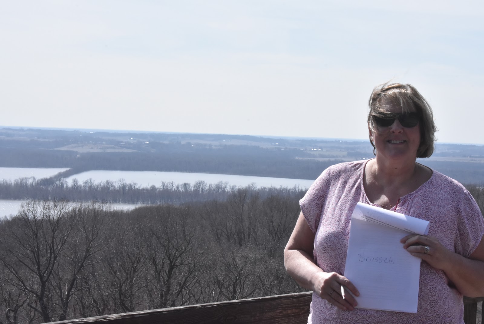
Eagle Roost, Brussels, IL is just to the left of Debbie KC9ULA.

Eagle Roost The WB9PNU 10 GHz beacon is just to the left of Debbie KC9ULA.

The state park has a diagram of the vista (yellow lines) from Eagle Roost.

Looking south from Eagle Roost. Minor flooding on the Illinois River as of March 27, 2019

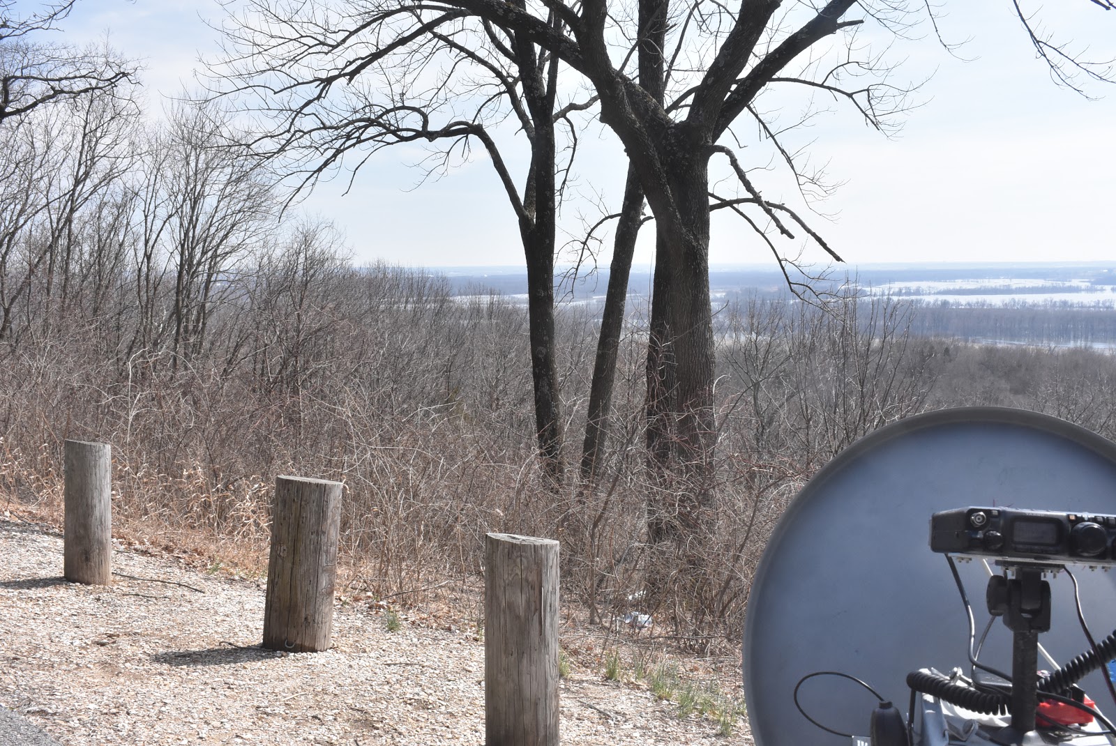
It's only a short distance from the parking lot to Eagle Roost overlook.

Flooding along IL 100 (Great River Road) has it closed just south of the state park and just north of Grafton, IL

Yep, the Illinois River is out of her banks.
Perfect! The Eagle Roost looks fantastic!
ReplyDeleteYes, doesn't it! I completely agree. Entire St. Charles County and the western half of St. Louis County is available for scoot and shoot during contests!
ReplyDelete